

CaliforniaView
![]() CaliforniaView is part of the 'AmericaView Consortium', a nationwide partnership of remote sensing scientists who support applied remote sensing research, K-12 Grade and higher STEM education, workforce development, and technology transfer.
CaliforniaView is part of the 'AmericaView Consortium', a nationwide partnership of remote sensing scientists who support applied remote sensing research, K-12 Grade and higher STEM education, workforce development, and technology transfer.
CalView’s vision is to promote and encourage remote sensing education within the State of California. To do so CalView is developing educational frameworks for k-12 grade providing teacher workshops to include remote sensing into school’s classroom settings. The main focus hereby is the use and distribution of Landsat data sets. Earth Observation Day is a STEM education and outreach event of AmericaView CalView is actively involved in.
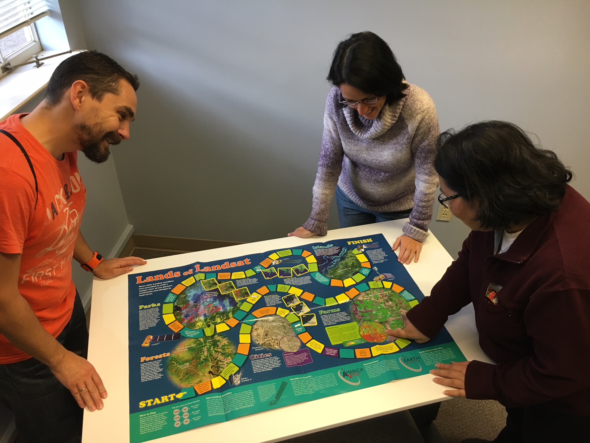
The AmericaView Earth Observation Day in 2017 was celebrated by remote sensing faculty, scientists and students playing a Landsat jeopardy game, while eating a California Landsat Mosaic Imagery Cake.
Viewing the Earth through satellite imagery can prove useful and interesting to many outside of the remote sensing community, including science writers, field scientists, resource managers, policy makers, students, and the general public. The United States Geological Survey does provide free Landsat satellite imagery that can be found online at the Earth Resources Observation Science Center website (EROS).
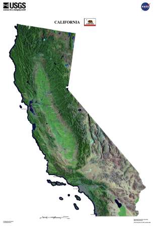
The image above are several Landsat 5 scenes stitched together representing a satellite image of California
If you have questions about CaliforniaView or would like to become a consortium partner, please contact the StateView Coordinator Pia van Benthem.

